Stories

- Interview
Meet the climate emergency
Find out what led Yinka Shonibare to create the compelling artwork ‘Refugee Astronaut’.
- Article
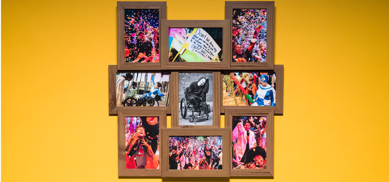
Rejecting shame and a decade of change
Jess Thom spent years trying to ignore and suppress the tics of Tourette’s syndrome. Read what happened when she decided to celebrate them instead.

- Article
Beyond a green carpet
Plant ecologist Sara Middleton explores the amazing symbiotic relationships between the species that make up grasslands, and considers their future as rain becomes more scarce.
- Article
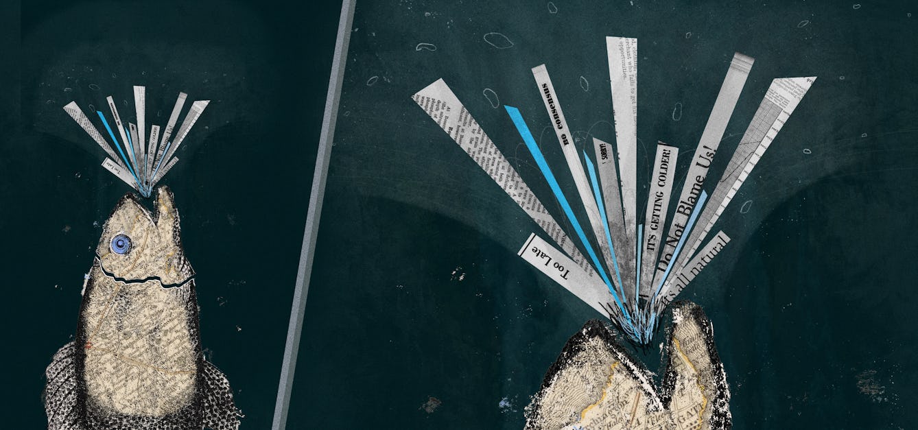
Coasting to catastrophe
In climate change, everything – and everyone – is connected. The watery process that will gradually cut off the Isle of Thanet from the British mainland has begun, and everyone in the UK needs to pay attention.


Catalogue
- Archives and manuscripts
"Climate Change and Human Health" invitations
Date: 1994Reference: SA/MED/E/3/12/3Part of: Medact- Archives and manuscripts
"Climate Change and Human Health" delegate pack
Date: 1994Reference: SA/MED/E/3/12/2Part of: Medact- Archives and manuscripts
"Climate Change and Human Health" planning correspondence and papers
Date: 1994Reference: SA/MED/E/3/12/1Part of: Medact- Archives and manuscripts
"Climate Change and Human Health" Gill Reeve's planning correspondence
Date: 1994Reference: SA/MED/E/3/12/4Part of: Medact- Archives and manuscripts
"Climate Change and Human Health" press and publicity correspondence and papers
Date: 1994Reference: SA/MED/E/3/12/5Part of: Medact