Stories
- Article
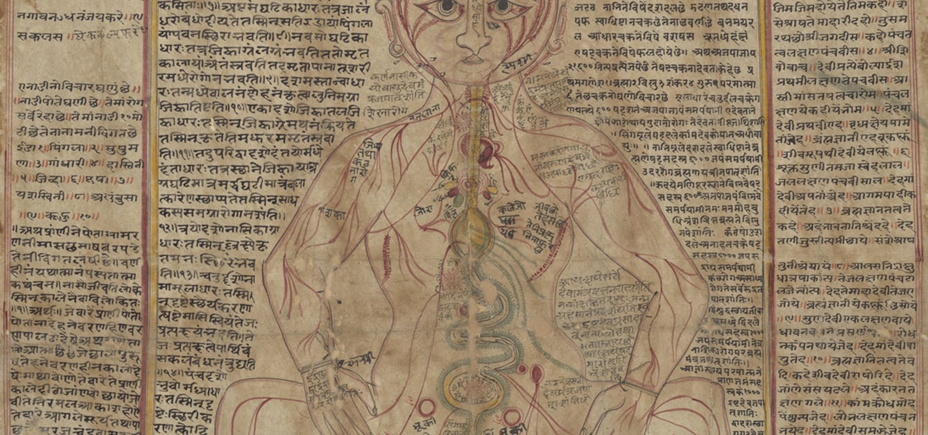
Mapping the body
These intricate anatomical drawings show how Ayurveda practitioners have explored the human body and how it works.

- In pictures
Sex work through the ages
Discover how societies, from antiquity to the present day, have chosen to regard and treat sex workers. While some communities work towards acceptance, others retain harsh judgement.

- Book extract
The neuroscience of how we navigate
Christopher Kemp describes the mysterious case of Amanda Eller, a hiker who got lost in the woods. How can someone take a few steps off a well-marked trail and completely disappear?

- Article
Epidemic threats and racist legacies
Epidemiology is the systematic, data-driven study of health and disease in populations. But as historian Jacob Steere-Williams suggests, this most scientific of fields emerged in the 19th century imbued with a doctrine of Western imperialism – a legacy that continues to influence how we talk about disease.
![The physical atlas; a series of maps illustrating the geographical distribution of natural phenomena / [Heinrich Karl Wilhelm Berghaus].](https://iiif.wellcomecollection.org/image/L0077829/full/420%2C/0/default.jpg)
![Astronomy: various apocalyptic scenes, including Napoleon III looking at maps, a shipwreck, an assassination [?], and a battle in Africa. Coloured lithograph, [c.1858?].](https://iiif.wellcomecollection.org/image/L0016561/full/600%2C/0/default.jpg)
![Astronomy: various apocalyptic scenes, including Napoleon III looking at maps, a shipwreck, an assassination [?], and a battle in Africa. Coloured lithograph, [c.1858?].](https://iiif.wellcomecollection.org/image/V0024814/full/600%2C/0/default.jpg)
Catalogue
- Archives and manuscripts
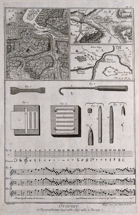
Maps
Date: c.1969-c.1976Reference: WTI/EHW/G/1Part of: Williams, Edward Hammond (1915-1993): Archives- Archives and manuscripts
- Online
Maps of South Europe, photocopies with manuscript additions and annotation, and manuscript notes.
Date: c.1973Reference: PP/AEM/E.32Part of: Mourant, Arthur Ernest (1904-1994)- Archives and manuscripts
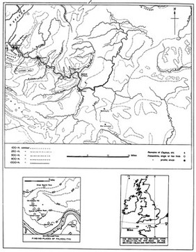
Maps and Data
Date: c.1965-1979Reference: PP/AEM/E.30-57Part of: Mourant, Arthur Ernest (1904-1994)- Archives and manuscripts
Maps of RAF stations in the British Isles
Date: 1935 and 1940Reference: PP/HEW/C.8/17Part of: Whittingham, Sir Harold E., 1887-1983, Air Marshal- Archives and manuscripts
Maps and clusters
Date: 1960s-1990sReference: UGC 155/3/8Part of: Papers of Dr James Harrison Renwick, 1926-1994, geneticist, University of Glasgow, Scotland