Skip to main content
Wellcome Collection homepage
Visit us
What’s on
Stories
Collections
Get involved
About us
Sign in to your library account
Search our stories, images, catalogue and events
Library account
Search our stories, images, catalogue and events
Search
Images search
Search for images
Search
All
Stories
Images
Catalogue
Events
Colours
Licences
Creative Commons CC-BY (113)
Public Domain Mark (41)
In copyright (14)
Creative Commons CC0 (2)
Dates
From
to
Types/Techniques
Book (32)
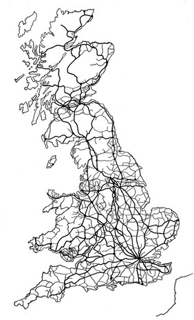
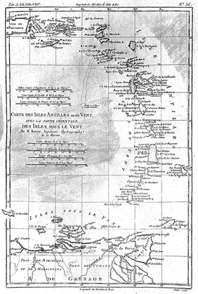
Map (13)
Photographic prints (4)
Stereographs (4)
Book illustrations (2)
Etchings (2)
Lithographs (2)
Postcard (2)
Engravings (1)
Portrait prints (1)
Subjects
Topography (129)
Cartography (12)
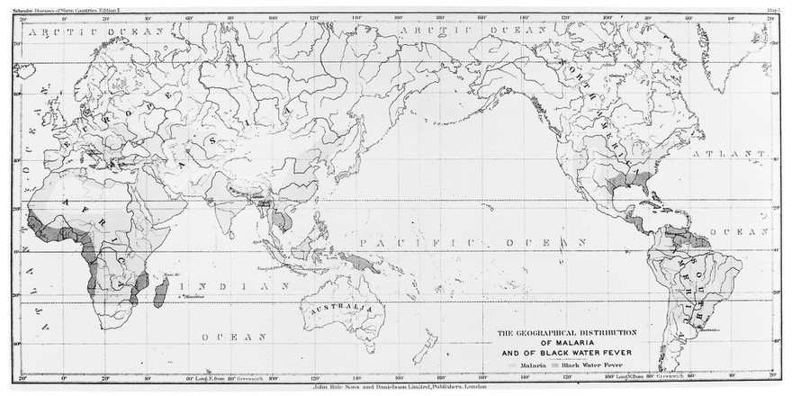
Topography, Medical (10)
Climate (7)
Town Planning (7)
Prehistory (6)
Epidemiology (5)
Yellow (4)
Blue (3)
Brain (3)
Cupping (3)
Europe (3)
Europeans (3)
Great Britain (3)
Great Britain. Army (3)
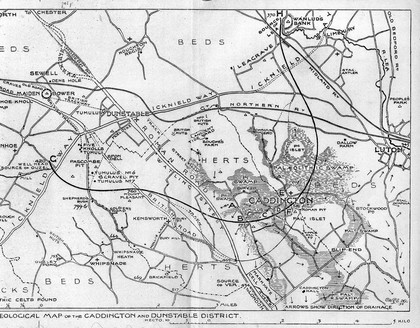
Hertfordshire (England) (3)
Jamaica (3)
London (England) (3)
London early 18th century (3)
Malaria - epidemiology (3)
Contributors
Dr. Wei-Feng Xue (4)
Mitchell, Samuel L. (Samuel Latham) (4)
Waterston, D. (David) (4)
Chauncy, Henry, Sir, 1632-1719 (3)
Drake, Daniel, 1785-1852 (3)
Lempriere, William, -1834 (3)
Dr I M Macrae (2)
Dr. Justyna Miszkiewicz and Dr. Wei-Feng Xue (2)
Entick, John, 1703?-1773 (2)
Felkin, R. W. (Robert William), 1853-1926 (2)
Huw Parry & Michael Whitaker (2)
Huxham, J. C. (John Coram), 1723-? (2)
Huxham, John, 1692-1768 (2)
Maitland, William, 1693?-1757 (2)
Smith, John Thomas, 1766-1833 (2)
Baikie, Robert, 1799-1889 (1)
Diego Ribero (1)
Michel (1)
Peltro (1)
S.H. Shepherd (1)
Submit
187 results
Search result sorting
Sort by:
Relevance
Production dates
Sort order:
Ascending
Descending
Submit
Previous (page 2)
Page
3
of 7
Next (page 4)
Close modal window
Previous (page 2)
Page
3
of 7
Next (page 4)