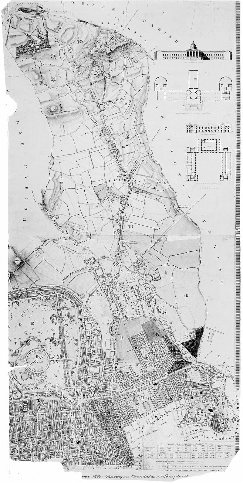
Map of St. Pancras in 1833 showing Parish Boundaries. From a map in the possession of the Town Clerk's Department, Town Hall, St. Pancras.
Licence: Attribution 4.0 International (CC BY 4.0)
Credit: Map of St. Pancras in 1833 showing Parish Boundaries. From a map in the possession of the Town Clerk's Department, Town Hall, St. Pancras. Wellcome Collection. Source: Wellcome Collection.