Wellcome uses cookies.
Read our policy
Close cookie notification
Skip to main content
Wellcome Collection homepage
Visit us
What’s on
Stories
Collections
Get involved
About us
Sign in to your library account
Search our stories, images, catalogue and events
Library account
Search our stories, images, catalogue and events
Search
Images search
Search for images
Search
All
Stories
Images
Catalogue
Events
Colours
Licences
Public Domain Mark (55)
In copyright (21)
Creative Commons CC-BY-NC (8)
Dates
From
to
Types/Techniques
Ephemera (20,087)
Engravings (12,697)
Lithographs (10,629)
Leaflets (10,491)
Portrait prints (9,384)
Photographs (9,038)
Etchings (8,805)
Paintings (6,836)
Posters (6,169)
Photographic prints (5,068)
Watercolors (3,680)
Portrait photographs (3,484)
Prints (2,994)
Wood engravings (2,539)
Oil paintings (2,419)
Stipple engravings (2,270)
Drawings (2,252)
Caricatures (2,121)
Intaglio prints (2,079)
Gouaches (2,018)
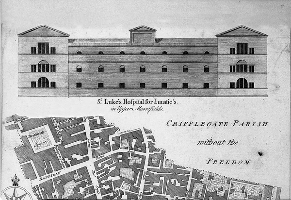
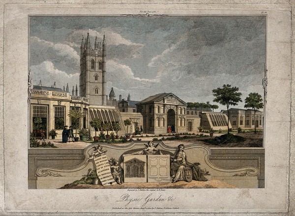
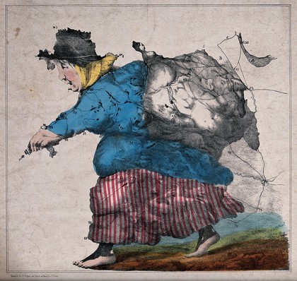
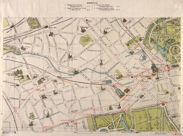
Maps (89)
Subjects
London (England) (30)
Gay men (16)
Homosexuality (14)
Lesbians (14)
Thames River (England) (13)
Hospitals (12)
Gay bars (8)
HIV Infections (7)
Acquired Immunodeficiency Syndrome (6)
Europe (6)
Restaurants (6)
Self-Help Groups (6)
Theaters (6)
Battles (5)
Germany (5)
Health Services (4)
Heraldry (4)
Music-halls (Variety-theaters, cabarets, etc.) (4)
Railroads (4)
Safe Sex (4)
Contributors
Back Pocket Guides (4)
Camden & Islington Community Health Services NHS Trust (4)
JWH Design (4)
Blachford, John, active 1755 (3)
Cole, B. (Benjamin) (3)
Dance, George, 1695-1768 (3)
Antares Media (2)
Camden & Islington Community Health Services NHS Trust. Health Promotion Service (2)
Gay Business Association (London, England) (2)
Hardwick, Philip Charles, 1822-1892 (2)
London & South Eastern Railway (2)
London Zoo (London, England) (2)
Orr, Monro S (2)
Russell, J., active 1803-1804 (2)
Zoological Society of London (2)
Frestoy, Sieur de (1)
Hebert, L. (Geographer) (1)
Hughes, Hugh, 1790-1863 (1)
Luchtenburgh, Joannes van (1)
Neele, Samuel John, 1758-1824 (1)
Submit
Active filters:
remove
Maps
remove
Reset filters
89 results
filtered with: Maps
Search result sorting
Sort by:
Relevance
Production dates
Sort order:
Ascending
Descending
Submit
Previous (page 1)
Page
2
of 3
Next (page 3)
Close modal window
Previous (page 1)
Page
2
of 3
Next (page 3)