Wellcome uses cookies.
Read our policy
Close cookie notification
Skip to main content
Wellcome Collection homepage
Visit us
What’s on
Stories
Collections
Get involved
About us
Sign in to your library account
Search our stories, images, catalogue and events
Library account
Search our stories, images, catalogue and events
Search
Images search
Search for images
Search
All
Stories
Images
Catalogue
Events
Colours
Licences
Public Domain Mark (291)
In copyright (208)
Creative Commons CC-BY (121)
Creative Commons CC-BY-NC (60)
Creative Commons CC0 (3)
Creative Commons CC-BY-NC-ND (1)
Dates
From
to
Types/Techniques
Posters (118)
Ephemera (116)
Lithographs (109)
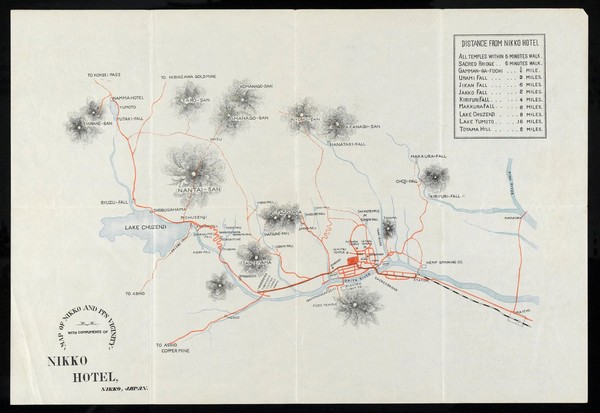
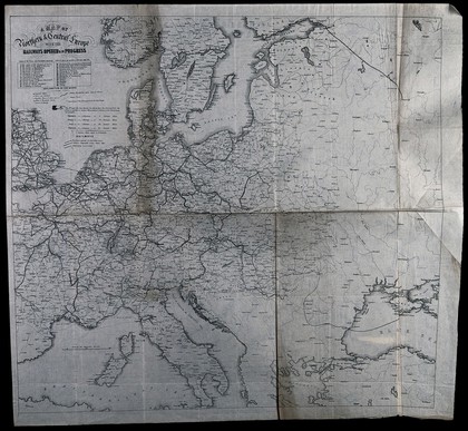
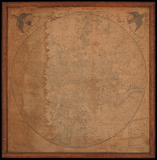
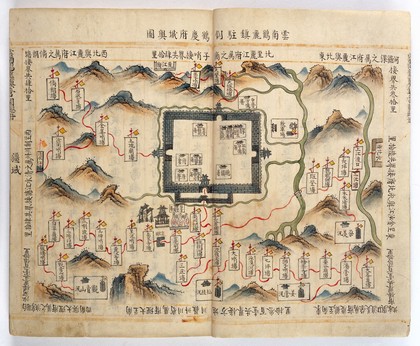
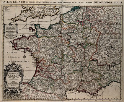
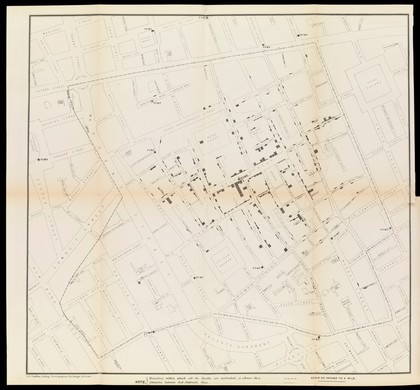
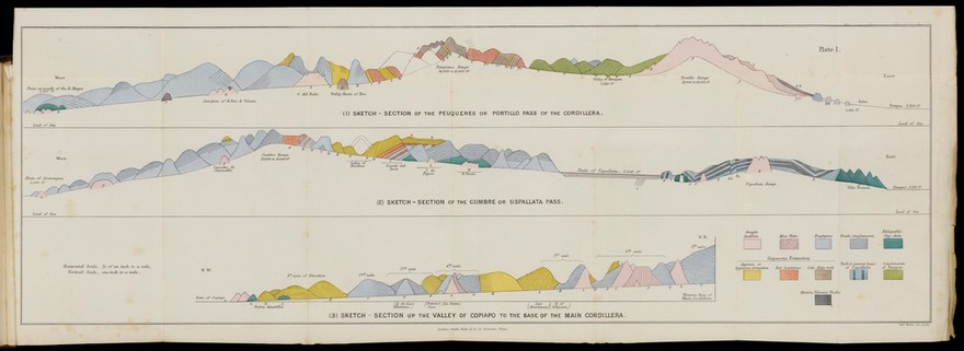
Maps (89)
Engravings (75)
Leaflets (63)
Illustrated works (41)
Calendars (20)
Etchings (20)
Mezzotints (20)
Portrait prints (14)
Book (13)
Map (13)
Caricatures (10)
Menus (10)
Intaglio prints (8)
Bird's-eye view prints (7)
Postcards (7)
Wood engravings (7)
Broadsides (6)
Subjects
AIDS (Disease) (72)
London (England) (63)
Africa, Central (53)
Emin Pasha, 1840-1892 (53)
Stanley, Henry M. (Henry Morton), 1841-1904 (53)
Voyages and travels (46)
Natural History (45)
Bahamas (41)
Southern States (41)
AIDS (Disease) - Prevention (36)
Topography (31)
HIV infections (30)
Blue (28)
AIDS (27)
AIDS poster (27)
AIDS Posters (27)
Market (27)
Green (24)
Orange (24)
Global Health (23)
Contributors
Stanley, Henry M. (Henry Morton), 1841-1904 (53)
Churchill, Awnsham, -1728 (43)
Churchill, John, active 1690-1714 (43)
Locke, John, 1632-1704. History of navigation (43)
Catesby, Mark, 1683-1749 (41)
François-Joseph Lapointe, Université de Montréal (21)
Chivers & Sons, Ltd (15)
Booth, Charles, 1840-1916 (11)
Dagonet, Henri, 1823-1902 (10)
Jandel Scientific (Firm) (10)
Burroughs Wellcome and Company (9)
Du Halde, J.-B. (Jean-Baptiste), 1674-1743 (8)
Apian, Peter, 1495-1552 (6)
Gemma, Frisius, 1508-1555 (6)
Museum of History and Technology (U.S.) (6)
National Anti-Vivisection Society (Great Britain) (6)
Roti Indian Take Away (6)
Smithsonian Institution (6)
Russell, John, 1745-1806 (5)
World Health Organization (5)
Submit
778 results
Search result sorting
Sort by:
Relevance
Production dates
Sort order:
Ascending
Descending
Submit
Previous (page 2)
Page
3
of 26
Next (page 4)
Close modal window
Previous (page 2)
Page
3
of 26
Next (page 4)