Type/Technique
Map


Catalogue
Using this type/technique (8)
About this type/technique (10)

- Digital Images
- Online
Map of Crimea.

- Digital Images
- Online
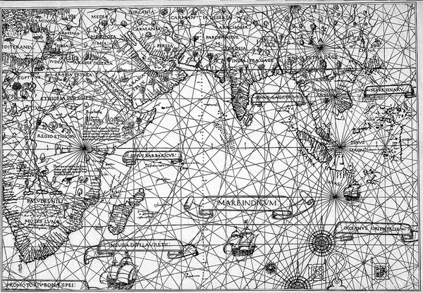
Diego Ribero's map of the world, 1529.
Diego Ribero
- Digital Images
- Online
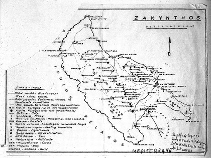
Possible site of Vesalius landing on the island.

- Digital Images
- Online
Map of the world in outline, with pacific in centre.

- Digital Images
- Online
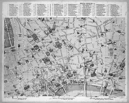
Plan of London, Medical socities and hospitals.